
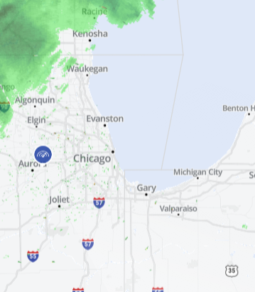
After a snowy day turned to a snowy night on Wednesday, the Chicago area woke up to more winter weather - with a blast of bitter cold on the way.
Winter weather advisories took effect Wednesday across several Chicago suburbs and in northwest Indiana.
- In LaPorte County, Indiana, a winter weather advisory continues through 6 p.m. Thursday.
- In Lake and Porter counties in Indiana, the advisory continues until 9 p.m. Thursday.
- In Newton and Jasper counties in northwest Indiana and Will, Kankakee, LaSalle, Kendall and Grundy counties in Illinois, an advisory began at 2 p.m. Wednesday and continues through noon Thursday
- DeKalb, Kane, DuPage and Cook Counties were all under an advisory starting at 4 p.m. and continuing through noon Thursday
The advisories warn of up to 5 inches of snow for some counties, and between 2 and 4 inches for others. The alerts note the winter moisture could briefly mix with freezing rain.
Light rain moved into southern counties beginning Wednesday afternoon, with the moisture changing to snow as it moves northward throughout the evening.
The snow continued overnight, growing moderate at times in some locations due to lake enhancement, with 1 to 3 inches across the area by dawn.
The snow is expected to taper by late morning, transitioning to flurries by the afternoon, except in northwest Indiana where lake effect showers could continue into the evening.
Local
Snow Totals Expected
Areas north and northwest of Chicago will likely only see 1 to 2 inches of accumulation, but those numbers rise to between 2 and 4 inches in the metro area and up to 6 inches in northwest Indiana.
When Will the Cold Hit?
The snow will also usher in a bitter blast that could send temperatures plummeting well-below zero.
Early Thursday, temperatures will likely start in the 20s, but those numbers will fall throughout the day, dipping into the teens and later into the single digits. Winds will be gusting between 35 and 40 mph.
Wind chill readings Thursday night could drop between -5 and -20 degrees, according to NBC 5 Storm Team meteorologists.
An arctic high will settle in early Friday, causing the winds to ease, but temperatures will likely remain below-zero for inland areas and in the single digits along the lakefront. Wind chill readings will stay between -5 to -20 on average Friday morning.
Highs are expected to climb only into the teens during the day, but don't worry, relief is in sight.
Temps return to the 30s for the weekend.
