
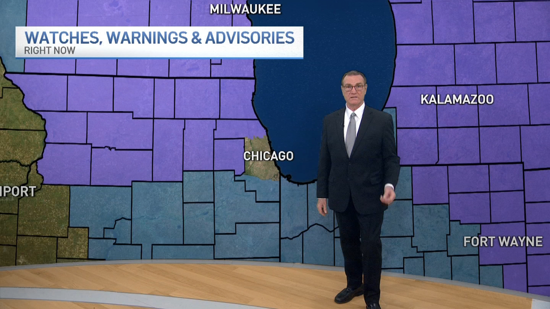
The largest accumulating snowfall so far this season could come in the days ahead with several inches of snow or more possible across the Chicago area.
The snow is expected to follow a drastic change in temperatures as wind chills dip below zero during a powerful cold front Thursday.
[[456119263, C]]
Light snow showers could begin falling Friday evening, however, it is not expected to bring much, if any, accumulation to the area.
Steadier snow is likely to develop Saturday afternoon, potentially growing moderate at times heading into the evening hours. A few inches of accumulation are possible during this system.
By Sunday, light snow may be coupled with some lake effect showers that could increase totals by a few more inches, particularly in locations along the lakefront.
[[273569591, C]]
Weather
Highs remain in the mid-20s and low-30s throughout the weekend, dropping to the mid-20s by Monday.
Monday will again see the chance for light snow during the evening hours, continuing Tuesday, with a few more inches of additional accumulation possible.
It remains unclear exactly how much snow these waves will dump on the Chicago area, but NBC 5 Storm Team meteorologists advise watching forecasts throughout the weekend and next week as conditions develop.
[[472162333, C]]
