
An active weather pattern is about to kick into high gear in the Chicago area this week, bringing the threat of heavy rain, thunderstorms and possibly accumulating ice.
While Tuesday started off sunny and windy, with highs reaching into the mid 30s, a "large storm system" is on the horizon and it's set to bring a mixed bag of weather across the region.
According to the NBC 5 Storm Team, the storm system is set to bring rain, sleet and freezing rain to parts of the Chicago area throughout Wednesday.
Freezing rain and sleet are expected to develop north and west of the city from the late-morning hours through the afternoon. Ice accumulations are possible during that time, which could make for hazardous travel, tree damage and power outages.
Feeling out of the loop? We'll catch you up on the Chicago news you need to know. Sign up for the weekly Chicago Catch-Up newsletter here.
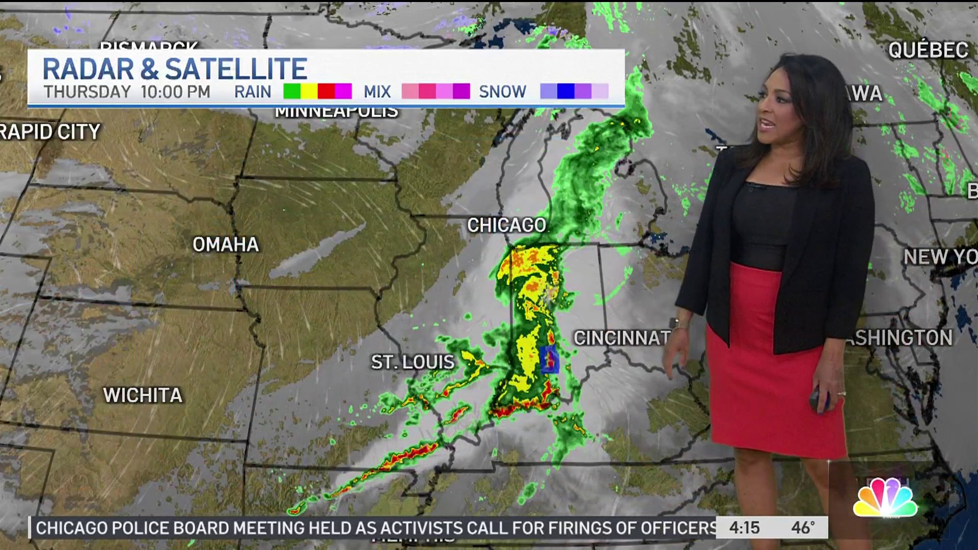
Rain is slated to develop mid-morning, but will grow heavier in the afternoon and early evening hours, bringing the potential for a few thunderstorms and flooding across parts of the Chicago area. Anywhere from 1-2 inches of rain is expected, though in some locations those numbers could reach up to 3 inches.
While the type of precipitation will vary across the area Wednesday, windy conditions will be present for all. Expect gusts of up to 45 mph throughout Wednesday and into Thursday.
Some of the biggest hazards with the storm will be icing on roadways and ponding water, both of which could make for dangerous travel conditions.
Weather
The biggest threat for ice accumulation will take place in northern locations.
A winter storm watch is in effect from Wednesday morning through Thursday morning in Kenosha County, warning of sleet, freezing rain and gusty winds.
The heavy rain is expected to end Wednesday evening but some light rain or a light mix could continue until early Thursday morning.
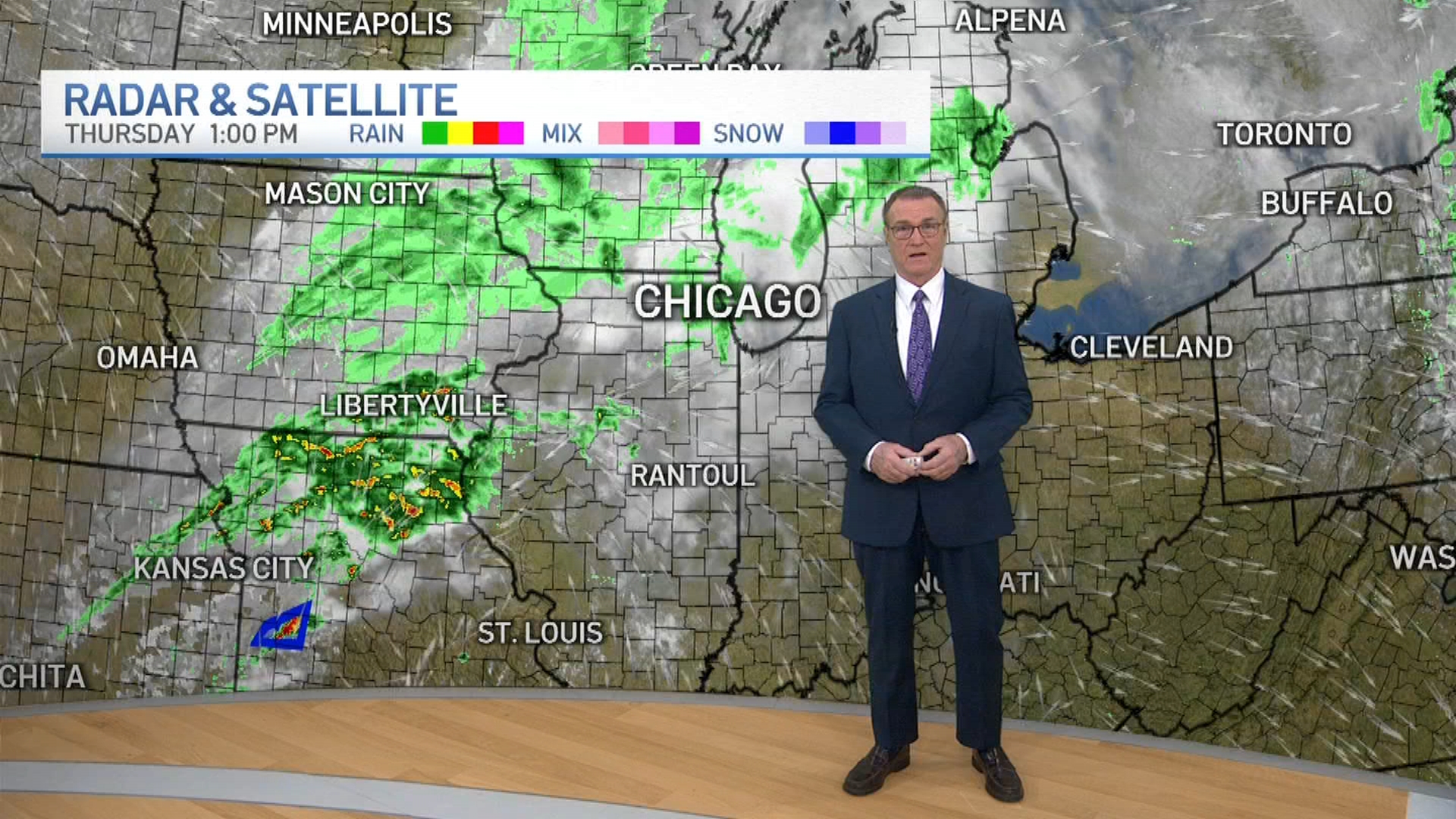
Thursday looks to be mainly cloudy with a rain-snow mix possible during the early morning hours before temperature highs rise into the mid 40s.
By Friday, however, a major temperature drop is expected, with highs only reaching into the upper 20s.
The storm system is still developing as it nears the Chicago area, and much could change as it approaches.
Check back in with the NBC 5 Storm Team as the situation develops.
