
A winter storm warning has been issued for multiple Chicago-area counties beginning Tuesday evening as two separate snow systems threaten to dump several inches of snow over a two-day period.
The National Weather Service issued a winter storm warning across northwest Indiana and for Kankakee County in Illinois, starting Tuesday evening and continuing through Thursday evening.
The takes effect in Kankakee County in Illinois, as well as Lake, Porter, Newton and Jasper counties in northwest Indiana at 10 p.m. Tuesday and continues until 6 p.m. Thursday.
A separate warning takes effect at midnight for LaPorte County and goes until 6 p.m. Thursday.
Feeling out of the loop? We'll catch you up on the Chicago news you need to know. Sign up for the weekly Chicago Catch-Up newsletter here.
A winter storm watch has also been issued for a number of Chicago-area counties beginning Tuesday evening.
The watch includes Grundy, LaSalle, Will and central and southern Cook counties in Illinois.
The forecast remains fluid and snowfall projections are still uncertain as even a minor shift in the storm's track could make for dramatic changes, but some locations could see an excess of 10 inches of snow while other parts of northern Illinois see little-to-no accumulation.
Two rounds of snow are possible across parts of the Chicago area, with the first set to arrive Tuesday night through Wednesday morning. The second would then take place Wednesday night through Thursday, with a break possible throughout the day Wednesday.
Forecasters with the National Weather Service say that break makes it increasingly challenging to project snowfall totals "since they ignore compaction during and between the waves of snow." Areas along and southeast of Interstate 55 are currently expected to see the higher amounts of snow.
A sharp cut-off in snow is anticipated on the northwest side of both systems, which could mean that some northwest Illinois suburbs may see little-to-no accumulation with either system.
NBC 5 Storm Team meteorologists say snow totals will vary dramatically across the area.
In the first storm, anywhere from 4 to 8 inches is possible for the metro area, while up to 14 inches could be seen in far southern suburbs and parts of northwest Indiana.
In northern suburbs, 1 to 3 inches is possible.
If the second storm follows a similar path to the first storm, which is likely, far southern counties like Kankakee County in Illinois and Newton and counties Jasper in northwest Indiana may receive anywhere from 16 to 24 inches total by Thursday night, though those totals don't account for compaction, which could make on-the-ground totals appear less.
Meanwhile, far northern counties like Kenosha and McHenry will likely receive 4 inches or less.
The winter storm warning for multiple counties warns of 6-12 inches possible through Wednesday, with an additional 3-6 inches expected through Thursday.
The winter storm watch warns of totals in excess of 6 inches for most counties under the alert. For LaSalle County, total snow accumulations between 5 and 11 inches are possible, according to the watch.
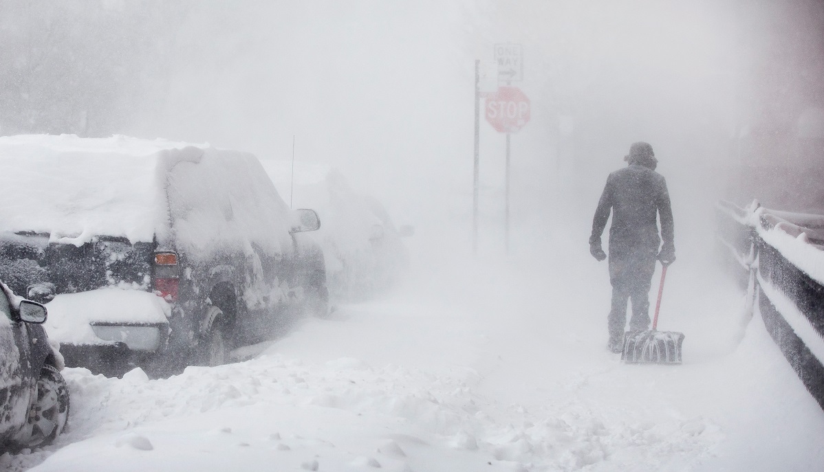
Travel conditions will likely be hazardous in areas that do see snow with these two rounds, particularly during the morning and evening commutes on Wednesday and Thursday.
The NBC 5 Storm Team will continue to monitor the weather systems as they develop, and the latest information can always be found on the NBC Chicago app.
