Another round of rain and thunderstorms is possible across the Chicago area Wednesday as temperatures begin to dip from Tuesday's high of 80 degrees.
A severe thunderstorm warning for portions of northern Illinois was allowed to expire at 5 p.m., and a severe thunderstorm watch initially in effect until 9 p.m. was canceled by the National Weather Service.
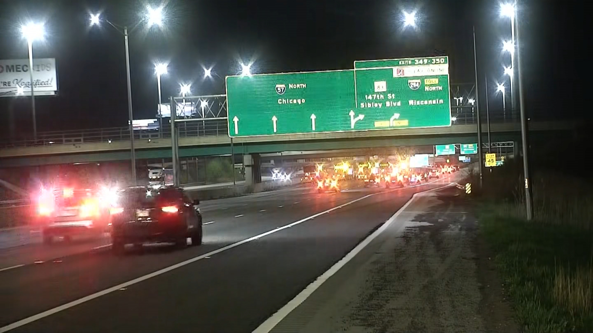
Showers and a few storms are still possible 8 p.m. along an even stronger cold front from northwest to southeast portions of the Chicago area.
Weather Photos: Severe Storms Pound Chicago Area With Lightning, Large Hail
A few storms may produce up to one-inch hail and wind gusts of up to 60 mph in spots as they sweep across the area, mostly in southern counties.
Any rain in northwest Indiana ends by 10 p.m. or 11 p.m. as the cold front moves east and winds increase. This will bring in drier air, clearing skies and ushering in colder 30-degree temperatures by dawn.
Wednesday looks blustery and much colder with wind gusts reaching 40 to 45 mph and afternoon temperatures in the low to mid-40s. The area will see some sunshine to start the day before clouds build and scattered showers develop in the afternoon, possibly mixed with graupel, or ice pellets.
Local

Another day in the 40s is expected Friday but with more sun and less wind through the day.
Easter weekend looks mainly cloudy, chilly and wet with periods of showers or rain.