
This story has moved. We're automatically redirecting you to our new coverage.
Normal 0 false false false EN-US X-NONE X-NONE MicrosoftInternetExplorer4 /* Style Definitions */ table.MsoNormalTable {mso-style-name:"Table Normal"; mso-tstyle-rowband-size:0; mso-tstyle-colband-size:0; mso-style-noshow:yes; mso-style-priority:99; mso-style-parent:""; mso-padding-alt:0in 5.4pt 0in 5.4pt; mso-para-margin:0in; mso-para-margin-bottom:.0001pt; mso-pagination:widow-orphan; font-size:10.0pt; font-family:"Times New Roman","serif";} This weekend's 70 degree temperatures are soon to be a memory.
A cold front that passed through the area overnight bringing with it much cooler temps.
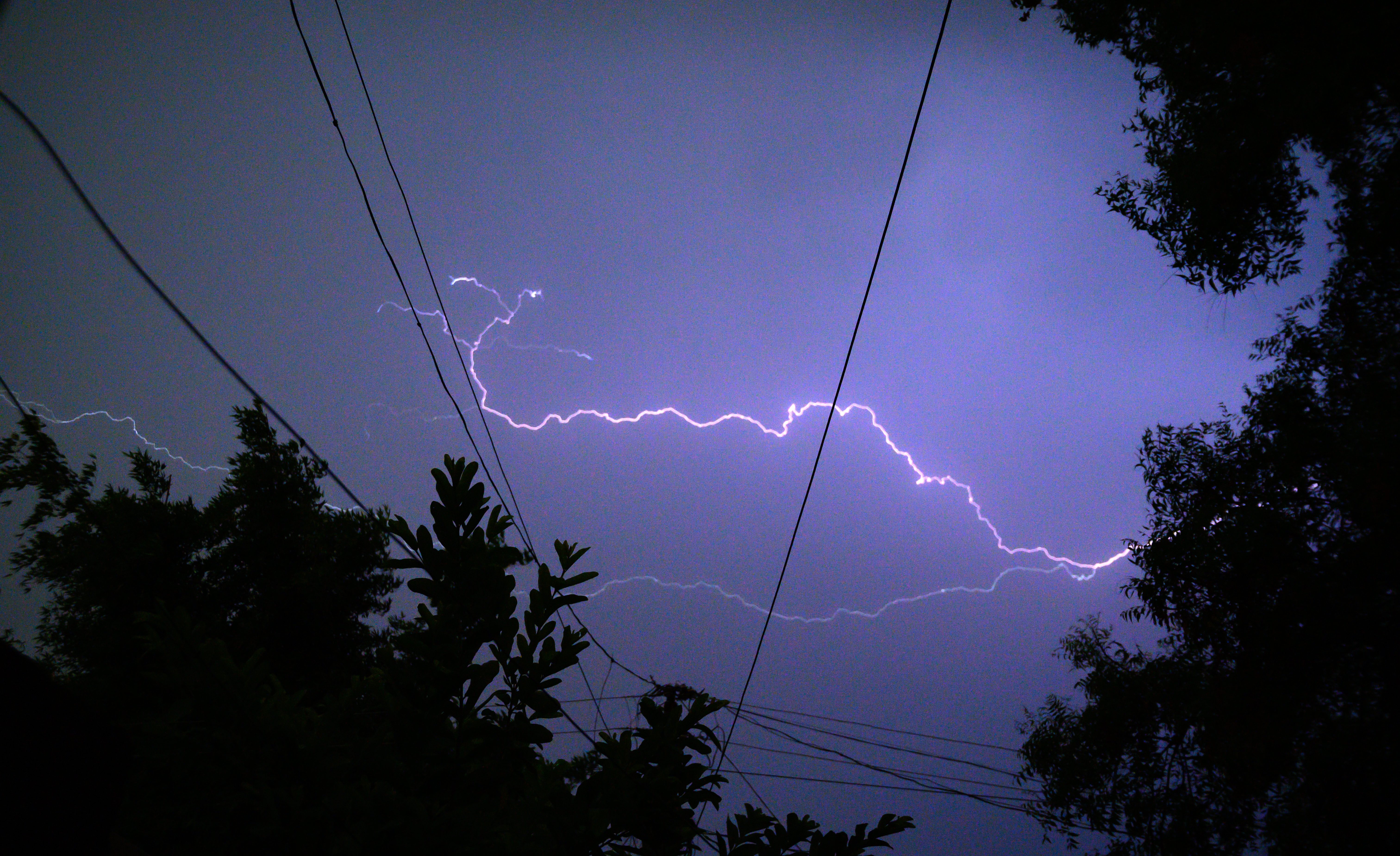
Monday's temps will remain above average in the mid or possibly upper 50s in a few locations. Some showers could appear in Chicago. To the South and in Northwest Indiana, thunderstorms may occur.
This wave and its showers should pass eastward late Monday afternoon and we may even see a little sun break out of the clouds in our far northwest and west suburbs.
Later in the week temps will tumble again dropping to 32 or below in most locations overnight Tuesday.
Stories

Despite some sun Wednesday and Thursday, reading in the upper 30 to low 40s with seem reasonable on a brisk NW wind flow before high moves to our east and return flow sets up warm air return on Friday into Saturday.
